NOAA Predicts "Double-Dip" La Nina Extending through Winter

October 19, 2021

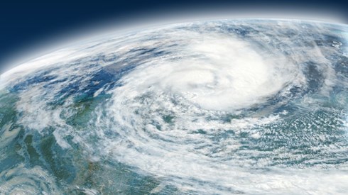
A La Niña has developed and will extend through a second winter in a row, potentially influencing the remainder of this year's Atlantic hurricane season and winter weather in the United States and Canada, according to the Climate Prediction Center of the National Oceanic and Atmospheric Administration (NOAA).
La Niña is an ocean-atmospheric phenomenon in the central and eastern Pacific Ocean near the equator marked by cooler than average sea surface temperatures. The phenomenon is one part of a cycle characterized by opposing warm and cool phases of oceanic and atmospheric conditions in the tropical Pacific Ocean, according to NOAA.
Consecutive La Niñas following a transition through neutral El Niño Southern Oscillation (ENSO) conditions are not uncommon and can be referred to as "double-dip," NOAA said. A La Niña developed in August 2020 then dissipated in April 2021, leading to a return to ENSO-neutral conditions, according to NOAA.
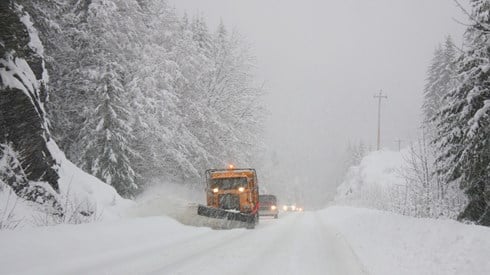
"Our scientists have been tracking the potential development of a La Niña since this summer, and it was a factor in the above-normal hurricane season forecast, which we have seen unfold," Mike Halpert, deputy director of NOAA's Climate Prediction Center, said in a statement. "La Niña also influences weather across the country during the winter, and it will influence our upcoming temperature and precipitation outlooks."
This current La Niña is expected to last through the early spring of 2022, according to NOAA. Previous La Niñas occurred during the winter of 2020–2021 and 2017–2018, and an El Niño developed in 2018–2019, NOAA said.
NOAA will announce its temperature and precipitation outlook for this winter, extending from December 2021 through February 2022, later this week.
October 19, 2021