
Estimated Insured Losses for Hurricane Michael Are $6 to $10 Billion
October 18, 2018
Catastrophe risk modeling firm AIR Worldwide estimates insured wind and storm surge losses for Hurricane Michael will be between $6 billion and $10 billion.
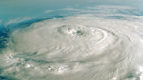
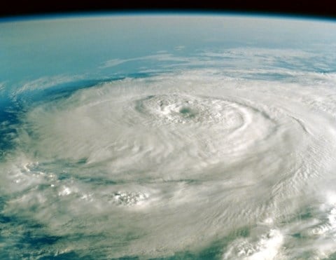
"Fueled by unseasonably high 84°F sea surface temperatures in the Gulf of Mexico and unhindered by any prior landfall, Hurricane Michael rapidly intensified shortly before making landfall at close to category 5 intensity," said Dr. Peter Sousounis, vice president and director of meteorology, AIR Worldwide. "It struck near Mexico Beach in the Florida Panhandle on the afternoon of Wednesday, October 10, with maximum sustained winds of 155 mph (250 km/h). The minimum central pressure at landfall—a key measure of hurricane strength—was 919 mb, the third lowest on record for a US hurricane. Michael is the most powerful hurricane to have come ashore in the Florida Panhandle since the first records were kept in 1851."
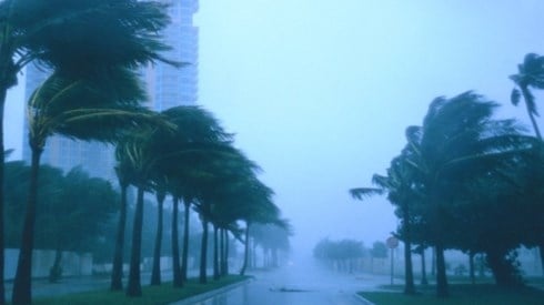
At landfall, hurricane-force winds extended outward up to 45 miles (75 km) from the center of the system, and tropical-storm-force winds extended outward up to 175 miles (280 km). It lost strength as it progressed across the Florida Panhandle and into southeastern Alabama and southwestern Georgia, weakening to a tropical storm.
Dr. Sousounis continued, "Most wind damage was confined to the Florida Panhandle and southern Georgia, although some local wind-related damage such as downed trees and power lines occurred farther north along the track into the Carolinas. Since Michael was a fairly rapidly moving storm, precipitation accumulation was far less than for Florence, although some of the areas previously flooded by Florence were already saturated. Forecasts of around four to eight inches of rain along the track through the southeastern US were accurate, and these rains triggered some local flash flooding."
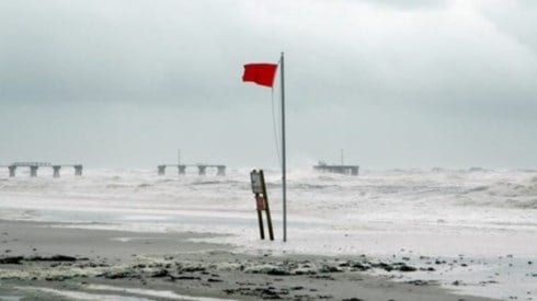
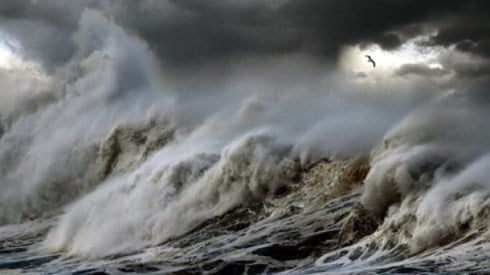
While there are no depth measurements in Mexico Beach currently available, this community was in the right eyewall of Michael where storm surge is typically the highest. Catastrophic storm surge damage in Mexico Beach virtually obliterated this community. Video taken in Mexico Beach during Hurricane Michael shows surge that has reached the undersides of the rooflines. Given that typical ceiling height is 8–9 feet, it is safe to assume that surge reached at least 8 feet above ground and potentially more than 10 feet. In addition, a National Ocean Service water level station at Apalachicola reported around 8.5 feet of surge above mean sea level shortly after landfall.
At Tyndall Air Force Base, which is west of Mexico Beach, a wind gust of 129 mph was measured. The base saw significant damage to structures, aircraft, and vehicles, including an aircraft hangar that lost its entire roof, revealing damaged fighter jets inside.
The residential community of Mexico Beach suffered the brunt of Michael's fury, and the majority of structures in that town were destroyed, primarily by storm surge. While Mexico Beach's year-round population is 2,000, it is a popular tourist destination for sportfishing. Panama City—and the surrounding areas of Lynn Haven and Callaway, which are located approximately 20 miles to the west of Mexico Beach—was also hit hard by Hurricane Michael. Damage to single-family and manufactured homes ranged from minor roof damage to complete destruction. Heavy damage was also reported for small commercial structures, hotels, hospitals, and schools.
Based on initial damage reports, Panama City Beach, which is located right on the Gulf, seemed to fare slightly better than the more inland Panama City; however, heavy damage was also reported in Panama City Beach.
Farther inland, the state capital, Tallahassee, reported a number of trees down, but the majority of the trees fell in yards or on roads with relatively few reports of structural damage caused by falling trees.
Initial reports indicate little significant structural damage in Georgia, and the majority of initial reports coming from Alabama, South Carolina, North Carolina, and Virginia indicated downed trees in roadways but very little structural damage.
AIR's modeled insured loss estimates include the following.
- Insured physical damage to property (residential, commercial, industrial, auto), both structures and their contents, from winds, wind-borne debris, and storm surge
- Additional living expenses (ALE) for residential claims and business interruption losses for commercial claims
- For the automobile line, estimates reflect AIR's view that insurers will pay for the storm surge damage.
AIR's modeled insured loss estimates do not include the following.
- Precipitation-induced flooding
- Losses paid out by the National Flood Insurance Program
- Losses to inland marine, marine cargo and hull, and pleasure boats
- Losses to uninsured properties
- Losses to infrastructure
- Losses from extracontractual obligations
- Losses from hazardous waste cleanup, vandalism, or civil commotion, whether directly or indirectly caused by the event
- Losses resulting from the compromise of existing defenses (e.g., natural and man-made levees)
- Other nonmodeled losses, including those resulting from tornadoes spawned by the storm
- Losses for US offshore assets and non-US property
October 18, 2018